Seven Pillars of Integrated Intelligence
From flood risk mapping to carbon credits and Traditional Ecological Knowledge, FAYAMA.AI combines seven complementary domains to serve governments, cooperatives and communities across Africa.

Food Security Intelligence
AI early-warning systems, food-basket analytics, nutrition mapping and national food-balance intelligence for governments and humanitarian agencies.
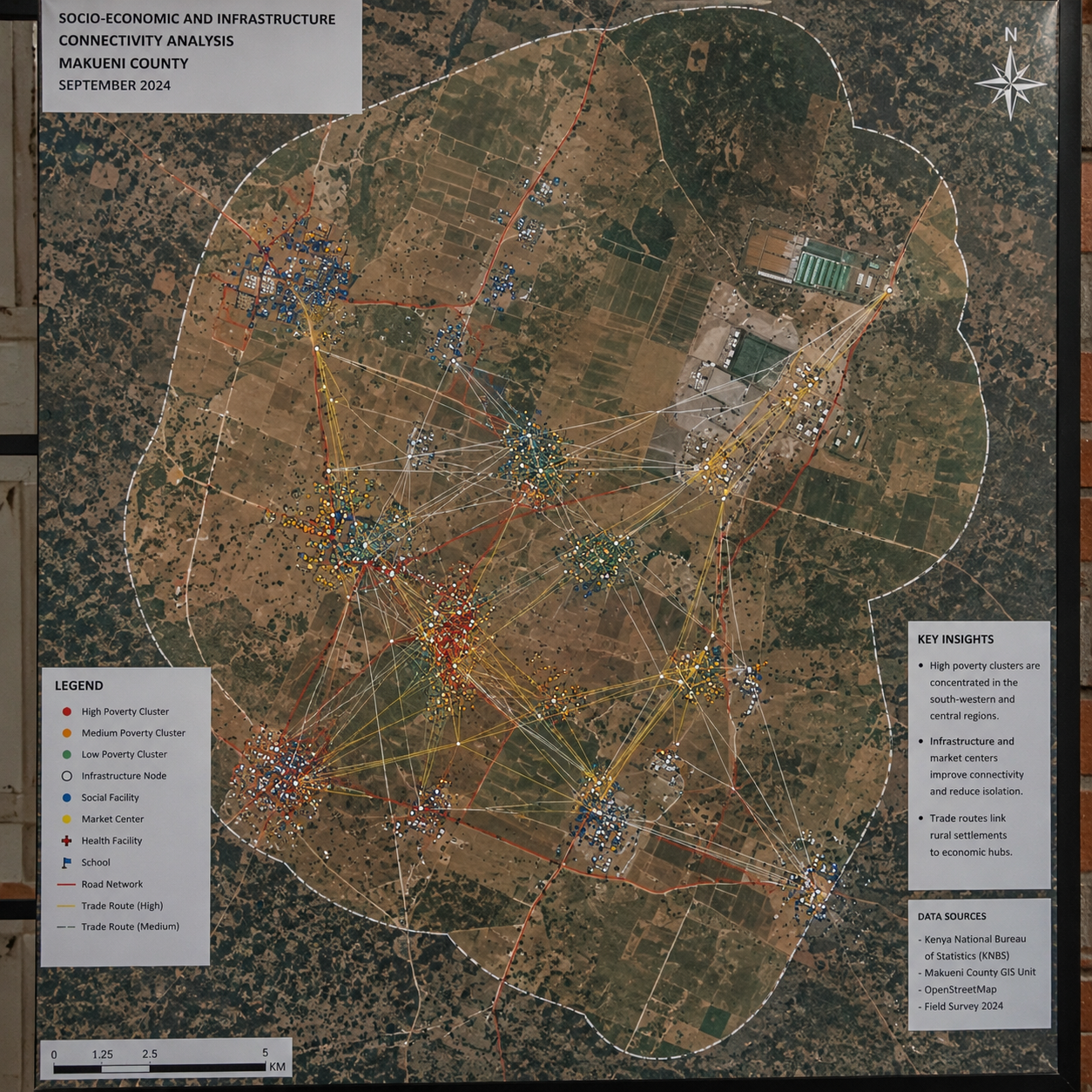
Poverty Targeting Engine
Dynamic vulnerability indices, ML proxy-means testing and real-time beneficiary identification for social-protection programs across the continent.
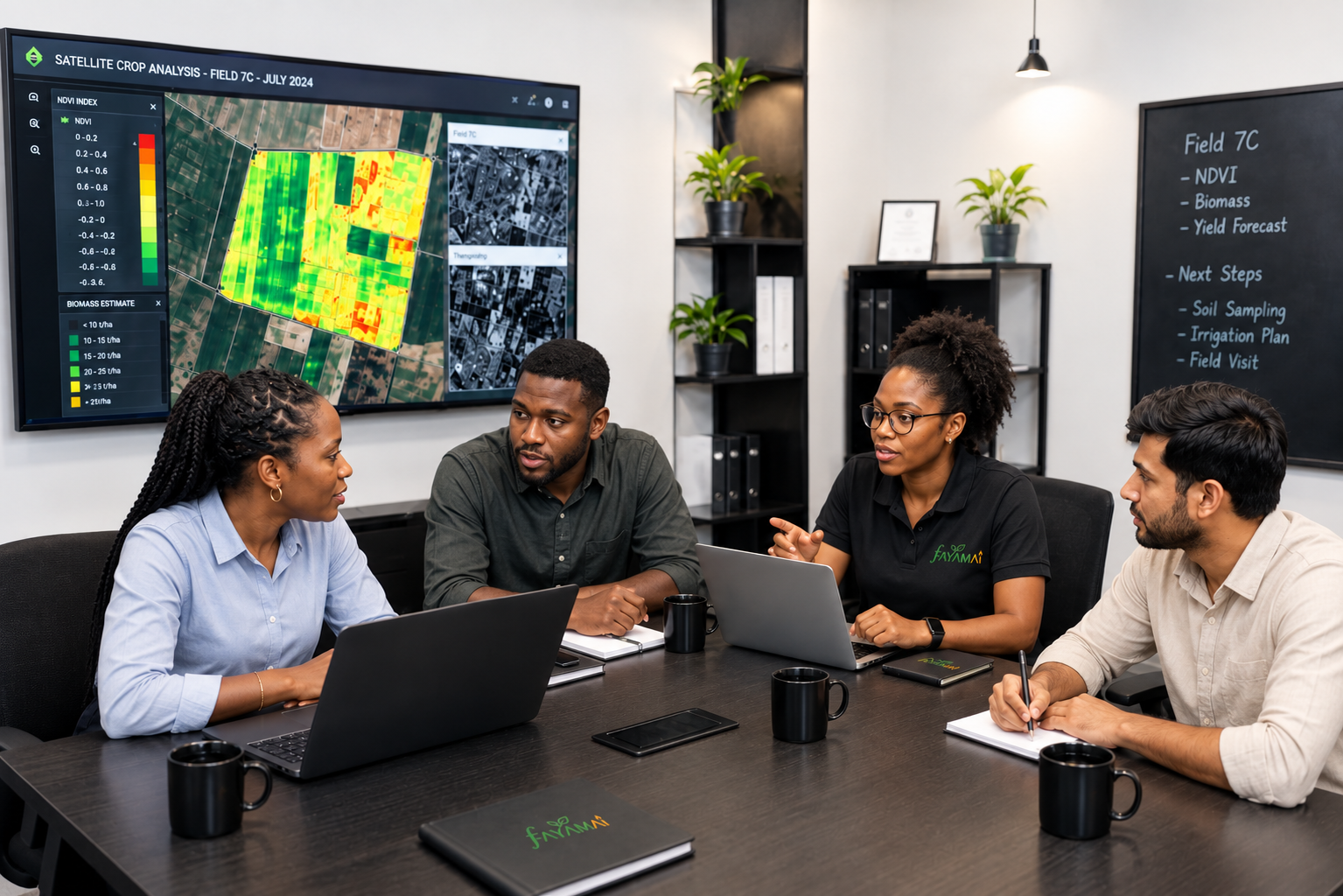
Agricultural AI Advisory
Crop-disease detection via smartphone, weather-adaptive cropping calendars, digital soil mapping and input recommendations in local languages.

Market Intelligence Platform
Price forecasting, value-chain analytics, buyer-seller matching and export-opportunity discovery connecting farmers to premium markets.

Flood & Climate Risk Mapping
Multi-sensor flood detection using Sentinel-1 SAR (cloud-penetrating) and Sentinel-2 optical imagery, combined with deep learning to map inundated zones, predict population exposure and issue 72-hour early warnings for governments and NGOs across West Africa.
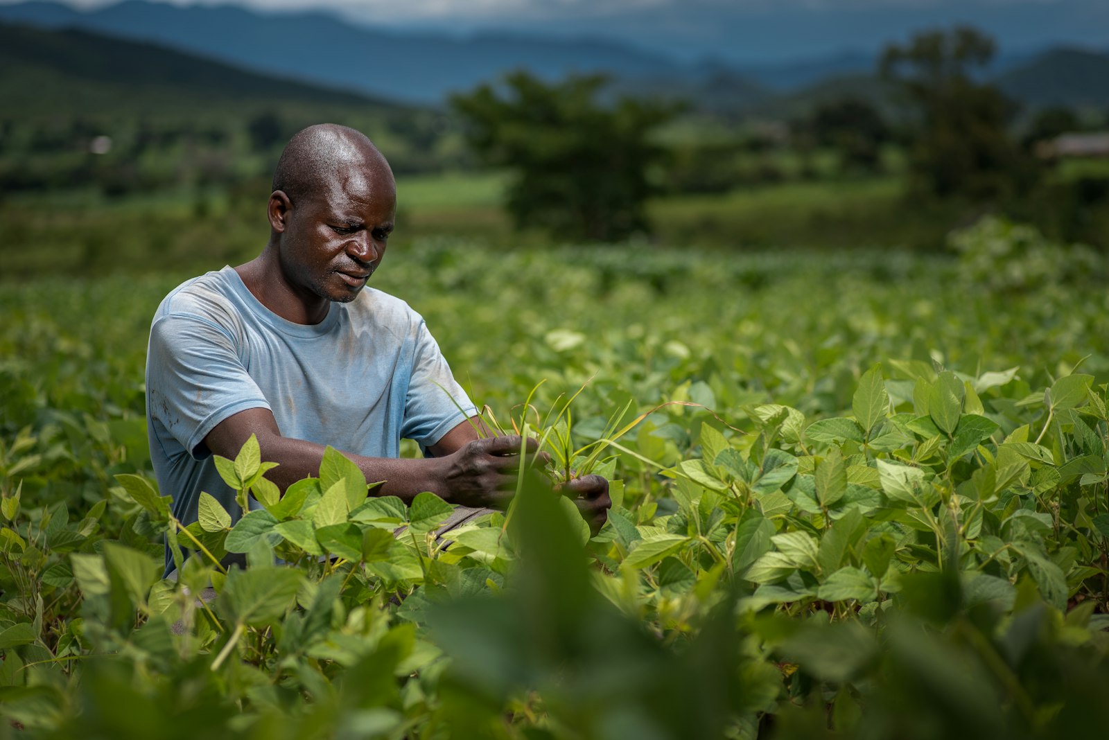
Carbon Credits for Farmers
Satellite NDVI time series and AI-powered MRV (Monitoring, Reporting, Verification) to measure carbon sequestration by smallholder farmers, generate internationally verified credits and connect cooperatives directly to climate finance.

AI + Traditional African Knowledge
Drawing on the Lkotkote TEK model from Kenya, we encode Traditional Ecological Knowledge (soil reading, intercropping calendars, seasonal signals) alongside satellite data so our models carry local wisdom and modern sensing in a single layer of intelligence.
From the FAYAMA.AI Lab
Thought leadership, field reports and AI research at the intersection of agriculture and food security in Africa.
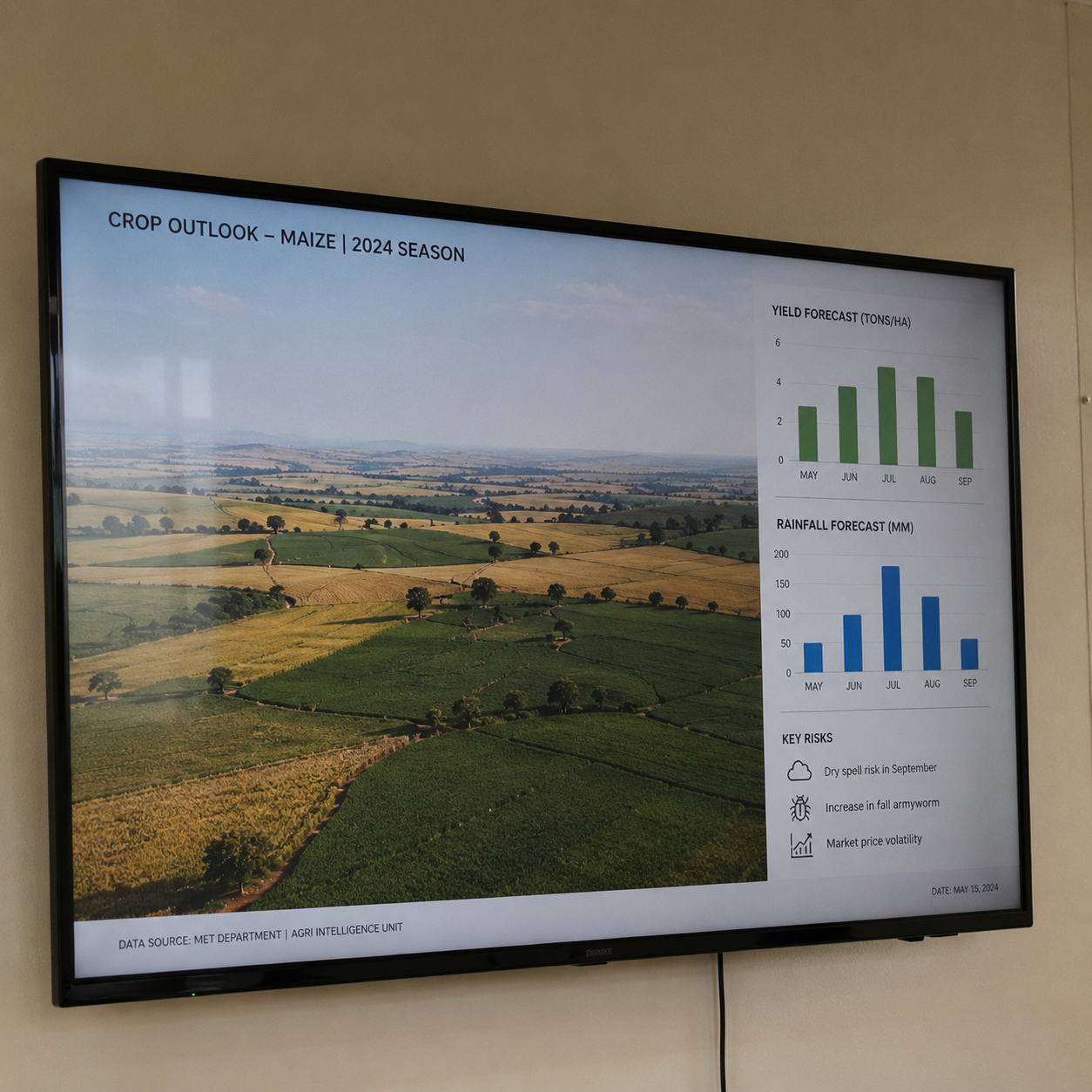
AI Can Boost, Not Replace, Early Warning Systems to Predict Hunger Crises
FEWS NET experts explain how AI models can accelerate the detection of food crises — but context, local knowledge and human judgment remain essential to sound early warning.
Machine Learning for Social Protection in the DRC: Beyond Traditional Targeting
A ScienceDirect study shows how ML models trained on household survey data significantly outperform proxy means testing for targeting vulnerable populations in urban DRC.
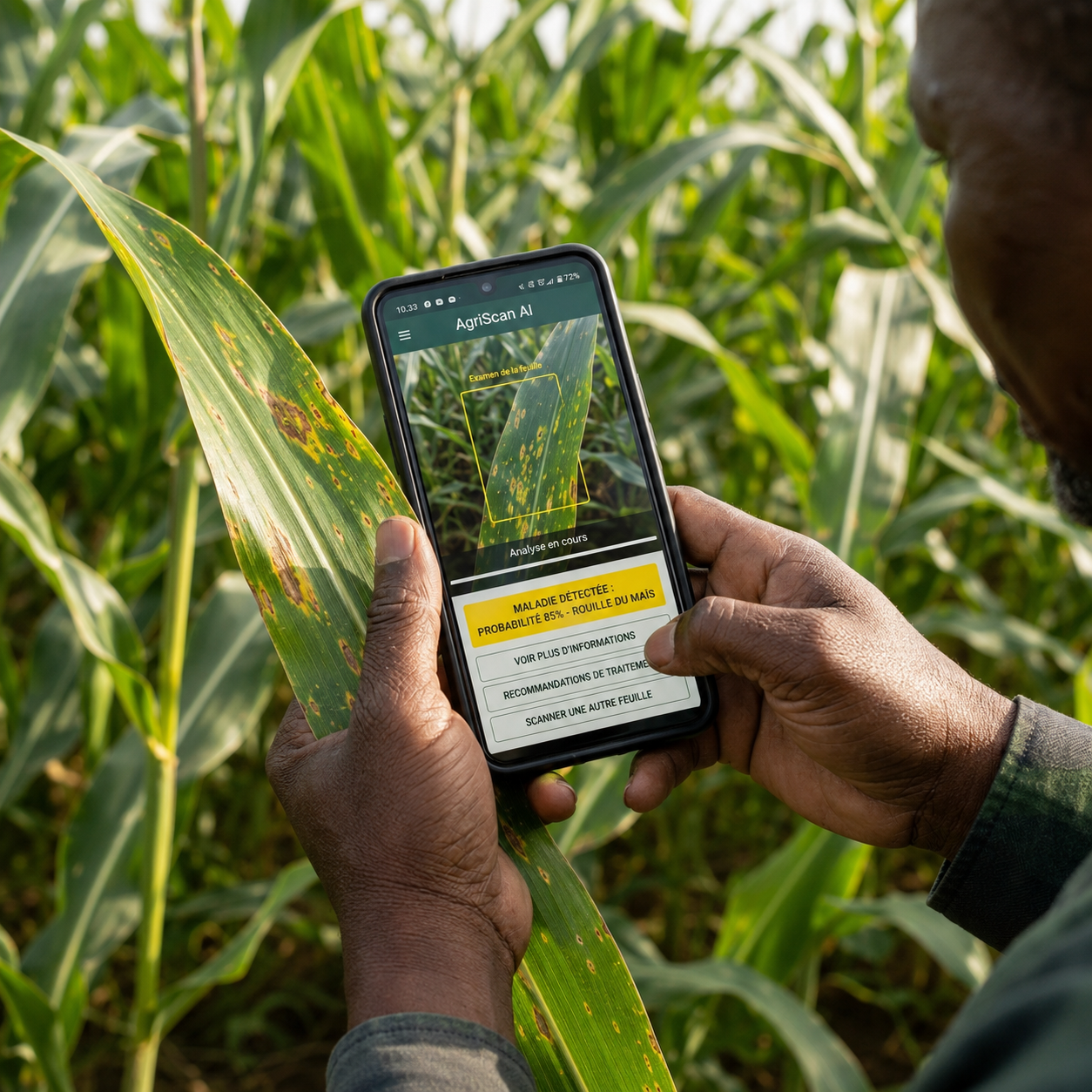
PlantVillage: AI Crop Disease Detection Transforming Smallholder Farming in Kenya
How PlantVillage's smartphone-based computer vision tool is helping Kenyan farmers identify crop diseases in real time, cutting losses and boosting food security at scale.